
Nov, 2020
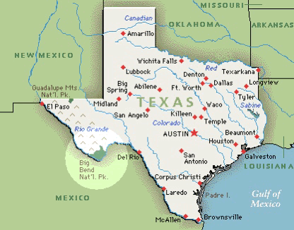
As the Rio Grande River flows down from the Rockies, it makes a sharp bend east before flowing into the Gulf of Mexico. This acute curve is referred to as the Big Bend and the river serves as the natural border between Texas and Mexico.
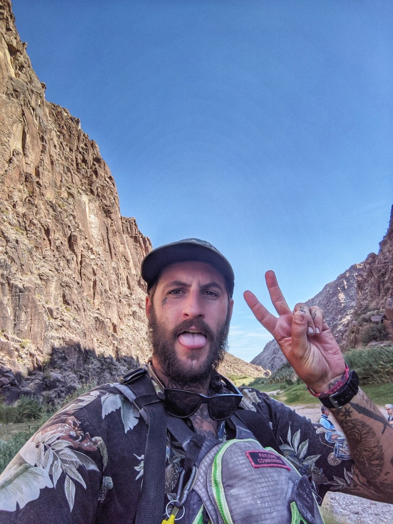
Early that morning, we set out with the crew from Big Bend Far Flung and planned to explore a small stretch of the river flowing through the Madera canyon located in the Big Bend State Park. Levi, our guide on the raft, pointed out that despite being winter, the temperature was forecast to hit a high of 100F (32 C) that day and that we’d have to watch out for heat exhaustion and dehydration.
“What’s the first sign of dehydration? It’s crankiness! So if you begin to feel cranky, remember to take a sip of water…….also dip your bandana in the water and wrap it around your wrist or neck to bring the core temperature of your body down.”
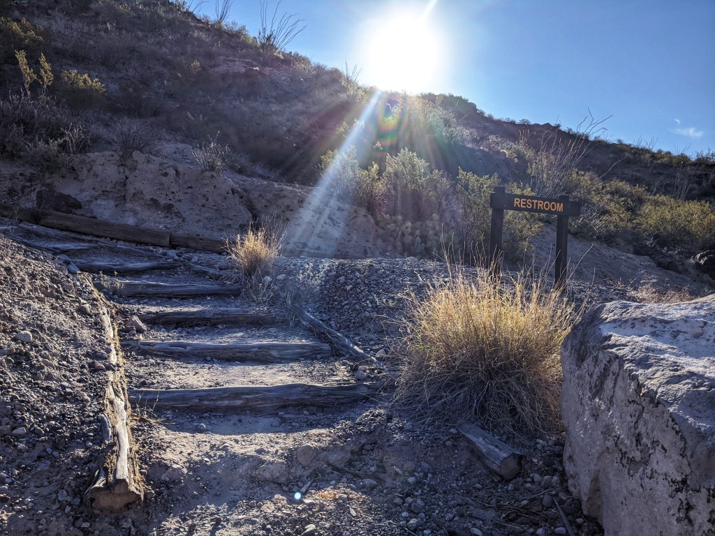
After slathering ourselves with copious amounts of sunscreen and visiting the last civilized potty, a clean backcountry composting affair, we set float in our oar propelled raft. The water was icy cold.
“The water flow is about 800 cubic feet/second today and is a little better than it has been in the last few weeks. The US and Mexico have a water sharing agreement but because of the drought, Mexico has fallen behind in its water shipments to the US. Recently, long standing tensions came to a head when an armed group of farmers took control of the La Boquilla Dam in Mexico and refused to allow any of the water to flow to the US. ”

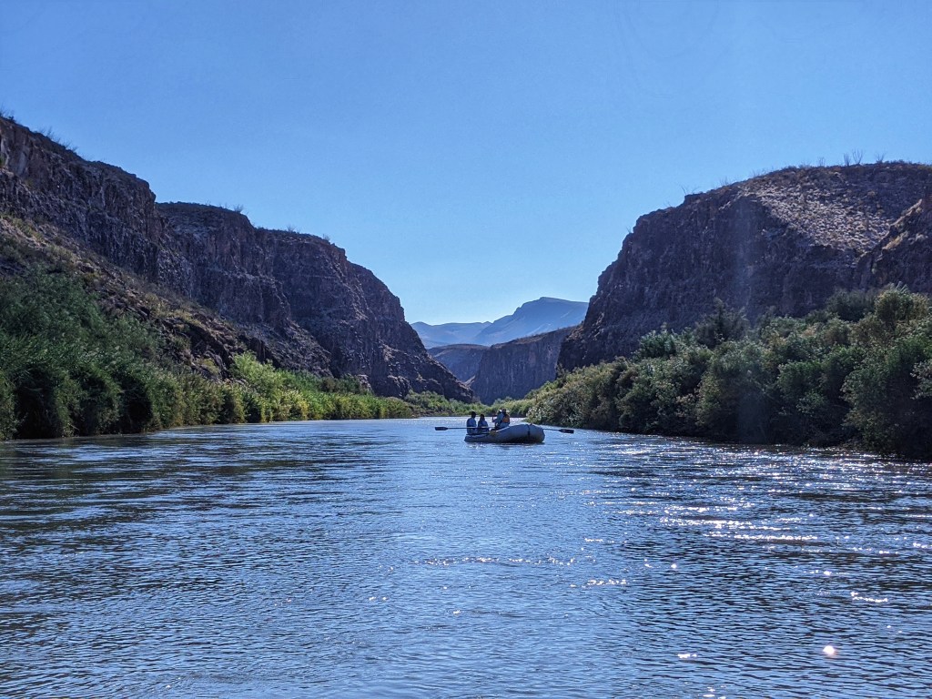
The river didn’t seem too wide or deep. The official border between the US and Mexico was at the deepest point of the river. Grazing cattle from Mexican ranchers regularly crossed the river to the US side and had to be herded back to the Mexican side.

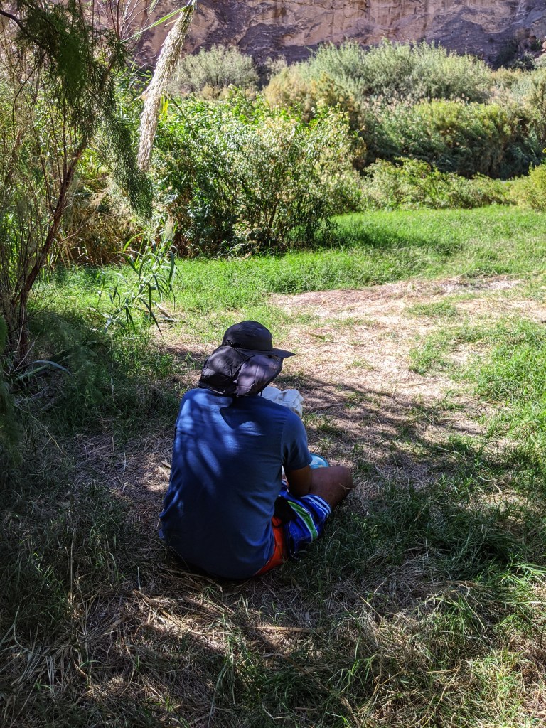
By noon with the sun directly overhead, I had started to feel the full effects of the heat. The steep canyon walls provided no respite from the sun. Levi spotted a clearing with a few shrubs and expertly steered the raft to the banks.
“We’ll anchor here for lunch and shade”.
The husband and I searched for the coolest spot that we could find while Levi set out a lunch of cold cuts, cheese, tomatoes, and slices of loaf.

Over lunch, he provided some more history of the area.
Communities on the Mexican and US side had regularly crossed the river until regulations changed in the aftermath of the 9/11 attacks. Border crossings through the river were made illegal. Families that lived on either side of the border now found themselves separated. The official and legal border crossing point was 3 hours away.
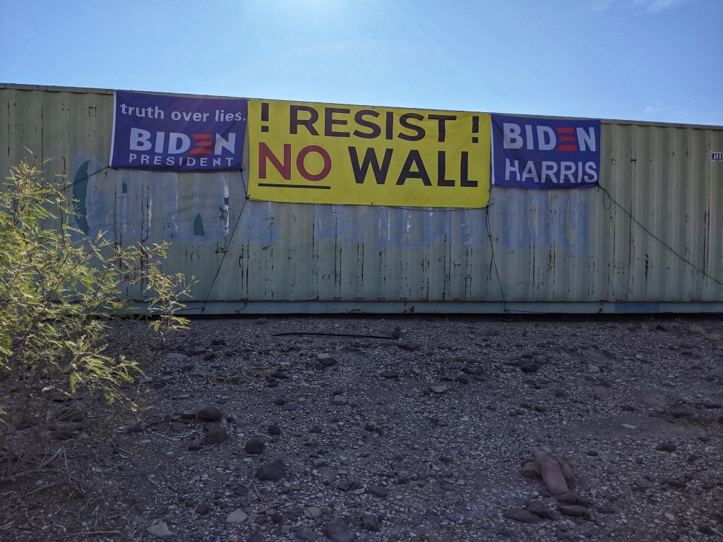
Every year hundreds from both sides of the river gather for the ‘Voices from Both Sides’ festival that commiserates the lifestyle lost by the border closing down. Local musicians serenade the crowd and families reunite in the middle of the river. Trump’s border wall doesn’t have too many takers in this part of Texas and the Border Patrol Force aren’t the most welcome here.
Terelingua was our last stop before we headed back to Houston. As we drove out of town, we spotted an abandoned container with posters on it that said ,” Resist the Wall” , “Biden and Harris 2020”.
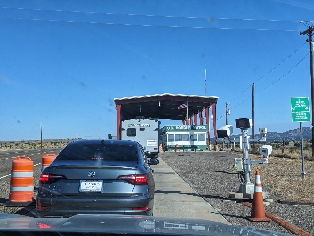
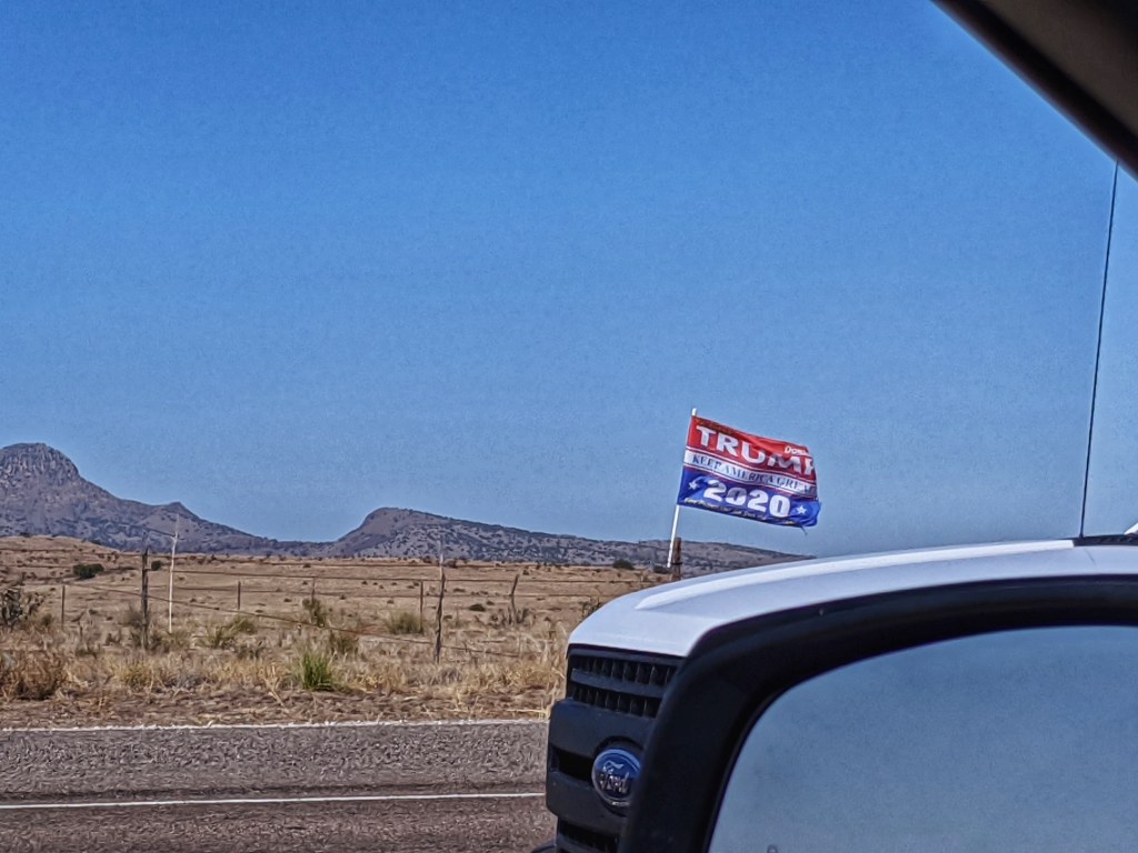
A few hours outside of Terelingua, we showed our IDs at the US Border Patrol Checkpoint. “Have a safe journey back home”, said the officer before handing back our green cards. As we drove away, “Trump 2020” flags plastered outside of the checkpoint, fluttered in the wind.
It was a week after the election had been called for Joe Biden. But the flags and signs for both parties continued to stay put.

I just nominated your blog for the Outstanding Blogger Award. https://thetravelarchitect.wordpress.com/2021/02/26/outstanding-blogger-award/
You certainly don’t have to participate, but I wanted to make sure you knew about it.
LikeLike
This is a fascinating event! I didn’t know about it. Glad to have found your blog.
LikeLike